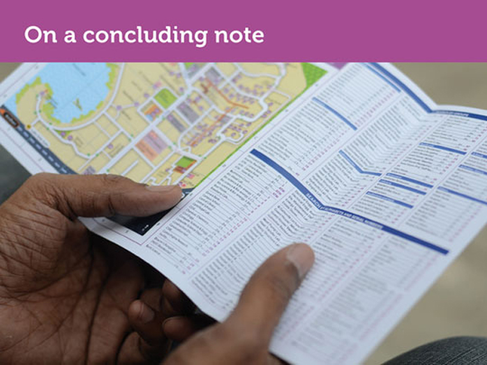
'IIT Bombay Campus Map - The re-designing of the map'
The Campus map has come a long way, is it done yet?
IITB Campus Map, has not been officially launched yet, but we have customized it and it has been used for events such as Techfest 2012 and Typography Day 2012. Based on user experiences we were able to gather some feedback which we wish to share with you.
Map and Scale:
Map as far as possible must be to scale, there is a limit to how much one abstracts, beyond which the distances become incomprehensible to a first time visitor.
Distance between certain points is shown on the map in KM, but these are not understood, especially by those who are walking around the campus.
Map and Need of Signage as a Feedback:
Current map cannot be used in isolation, it has to be used in conjunction with a functional institute signage and following are the reasons why:
People look at clues in their surroundings for feedback and confirmation that they are moving in the right direction towards their destination. Venues and sub-venues should be made clear on the signage.
Eg. FC Kohli auditorium inside KRESIT
It has been a wrong decision on part of the Techfest team to not show all the departments (especially in the infinite corridor) on the map, which are not relevant to their schedule as these and their name plates provide valuable feedback and confirmation to a first time visitor to IIT B campus. Removing these from the map is a communication opportunity lost.
TF introduced another line drawing, B/W map on the brochure for certain accommodations that were arranged further away from where all the TF action was. These students were unable to use this B/W, line drawing map along with one on the TF brochure as they failed to orient themselves properly.
Maps and Orienting oneself that is, ‘where am I’:
People were sometimes finding it difficult to track their own location the map. How may we address this?
Maps and Approach Roads to a Venue:
Often when you are standing near a venue spread over the larger area such as SAC fields or OAT, there might be several approach roads that connect this venue to the nearest main road, all of these should be shown. People were at times right in front of such venues but could not figure out from where to enter.
Maps and the Strategy of Zones:
In situations like Tech-Fest or Mood Indigo for that matter, when campus becomes broadly divided into zones such as those for competitions, exhibitions, accommodations, it would be nice for the same to reflect on the map, as explained by David Gibson in his book, ‘The Wayfinding Handbook’.
Where do we go from here?
Someday, we hope to make an isometric campus map. For now, we test out the current one and refine it further.


