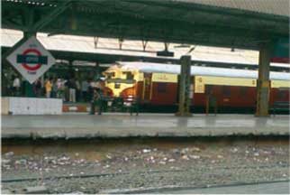
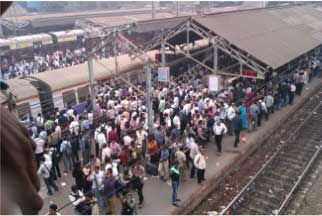
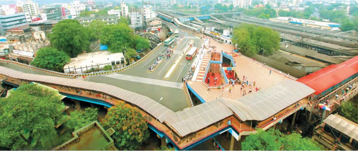
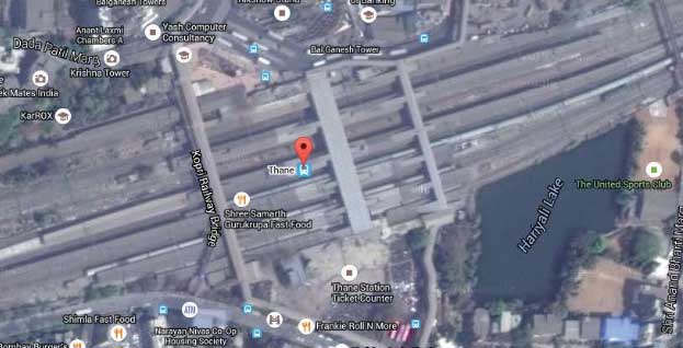
Visit the Station
Note How many number of Platforms Footover Bridges
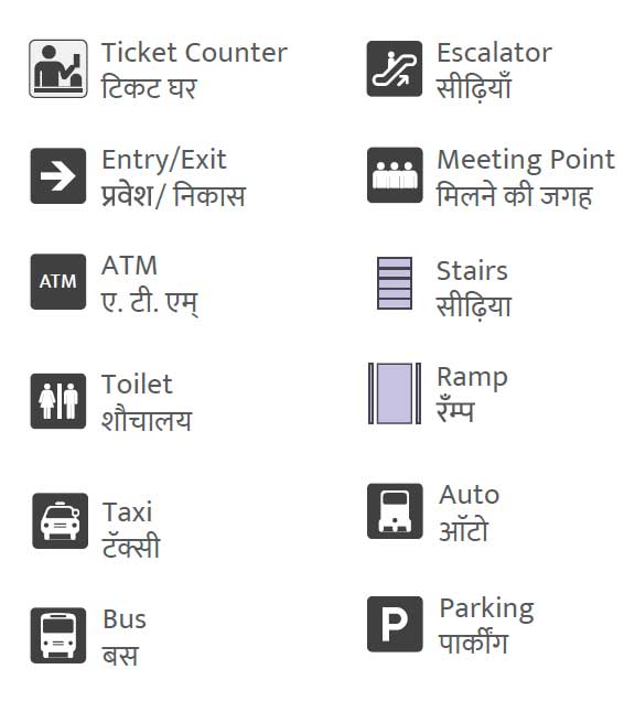
Ticket Counters, Entry/Exits, Toilets etc.
Take Photos of the Stations for Reference.
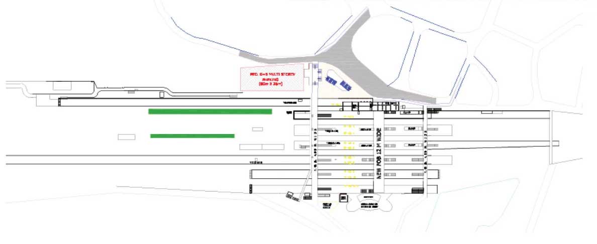
Get the Plan of Station
Take a Screen Shot of Google Map for Reference
Draw Basic View of the Station on Paper for your reference
Open Illustrator Tool to draw the map
illustrator->file->new->print-artboardsize->Add Basic Template
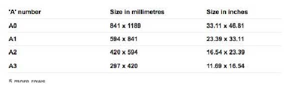
Size of the Map
A0 33.11"x46.81"
A1 23.39"x33.11"
Typeface
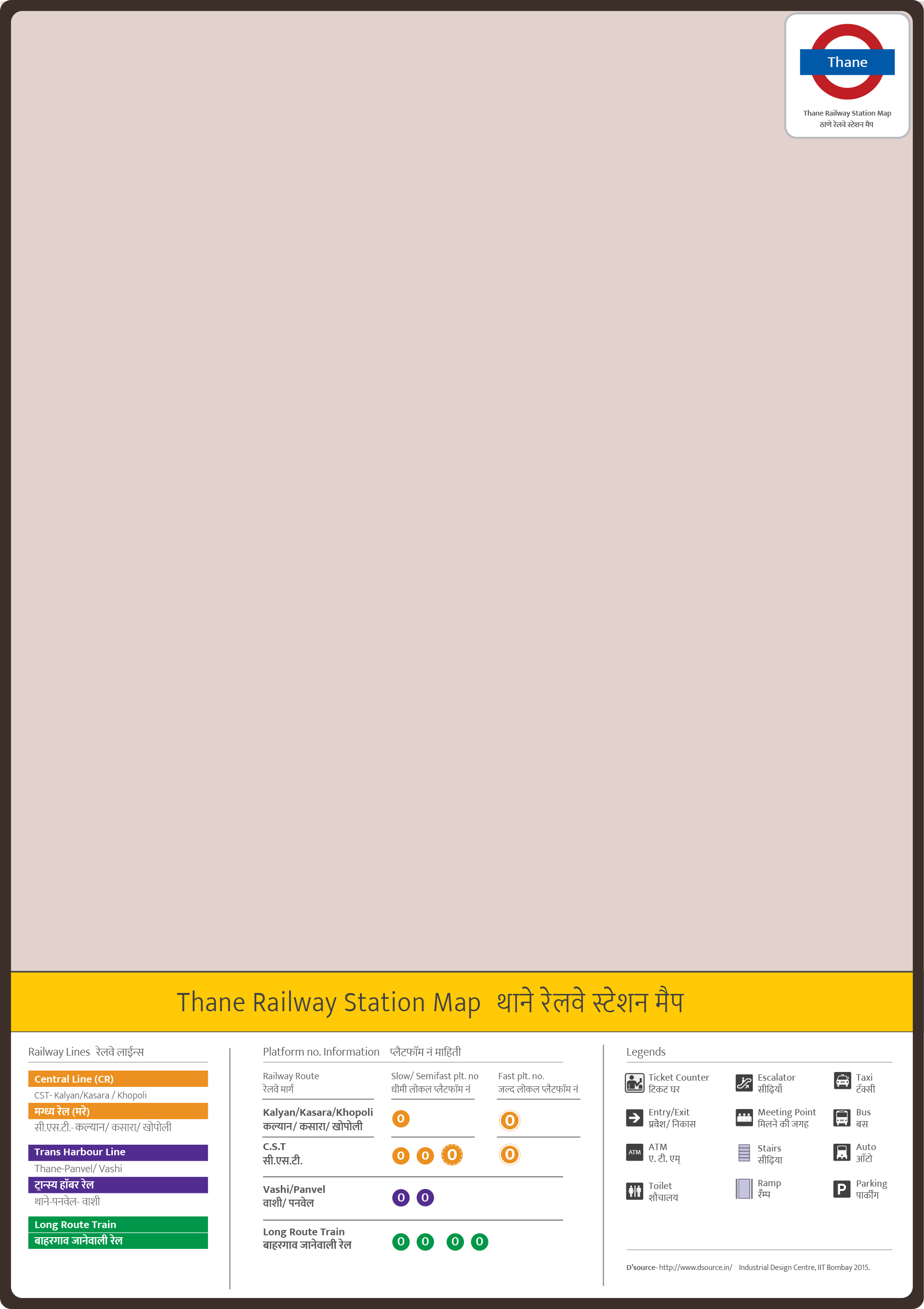
Title with 2 Languwages: English and Hindi
Font Name: Ek-Mukta
Latin and Devnagari
Visit the Station
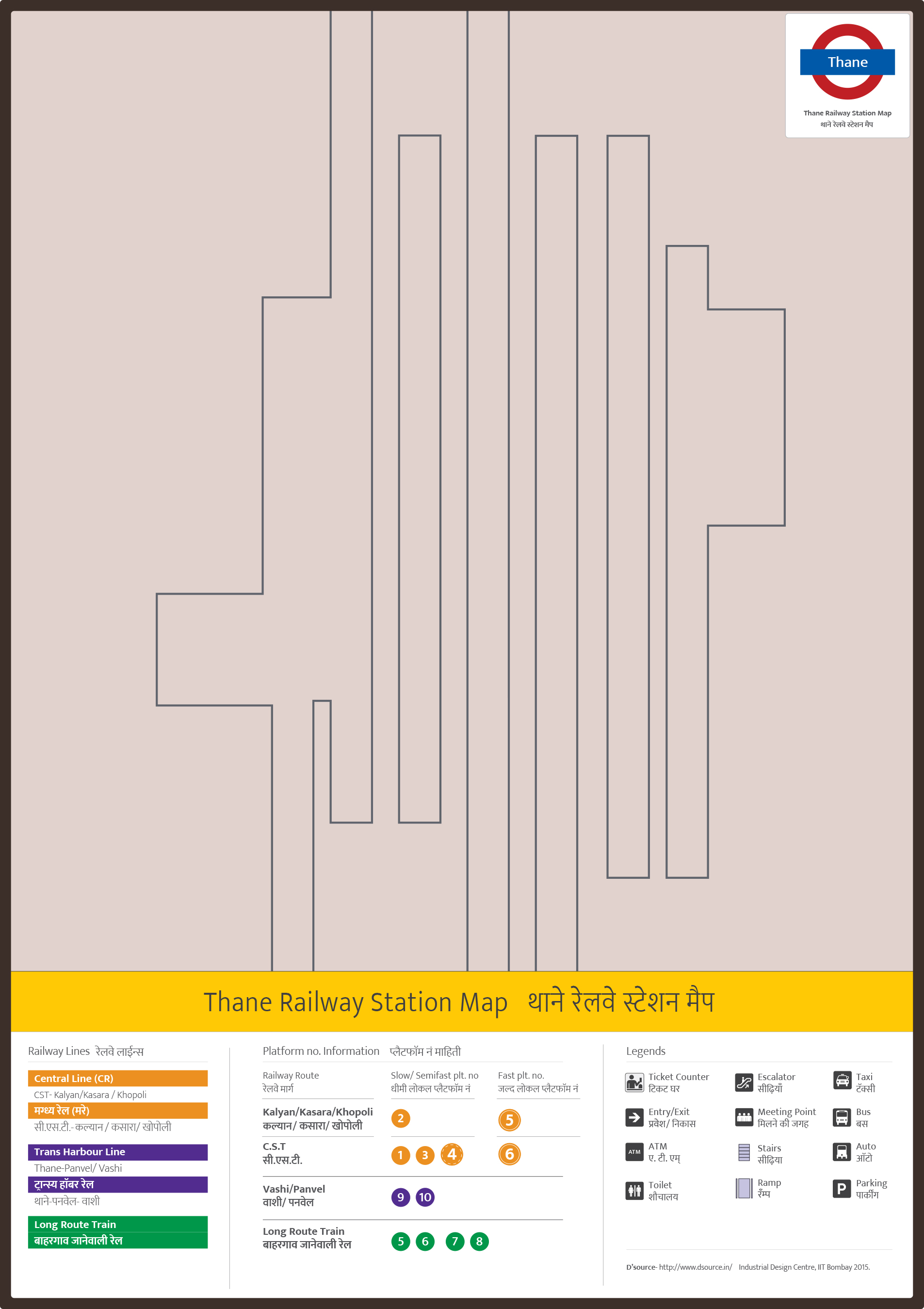
Note Down How many number of Platforms, Footover Bridges, Ticket Counters, Entry/Exits, Toilets etc. are there
Take photos for refernce
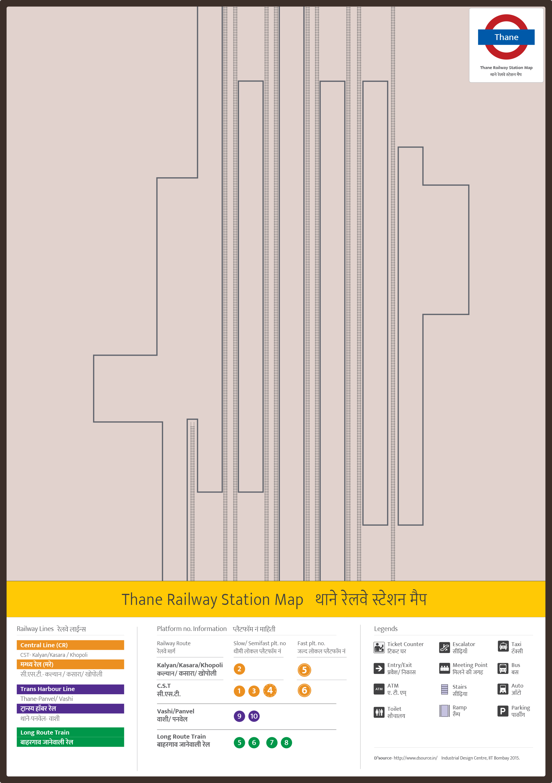
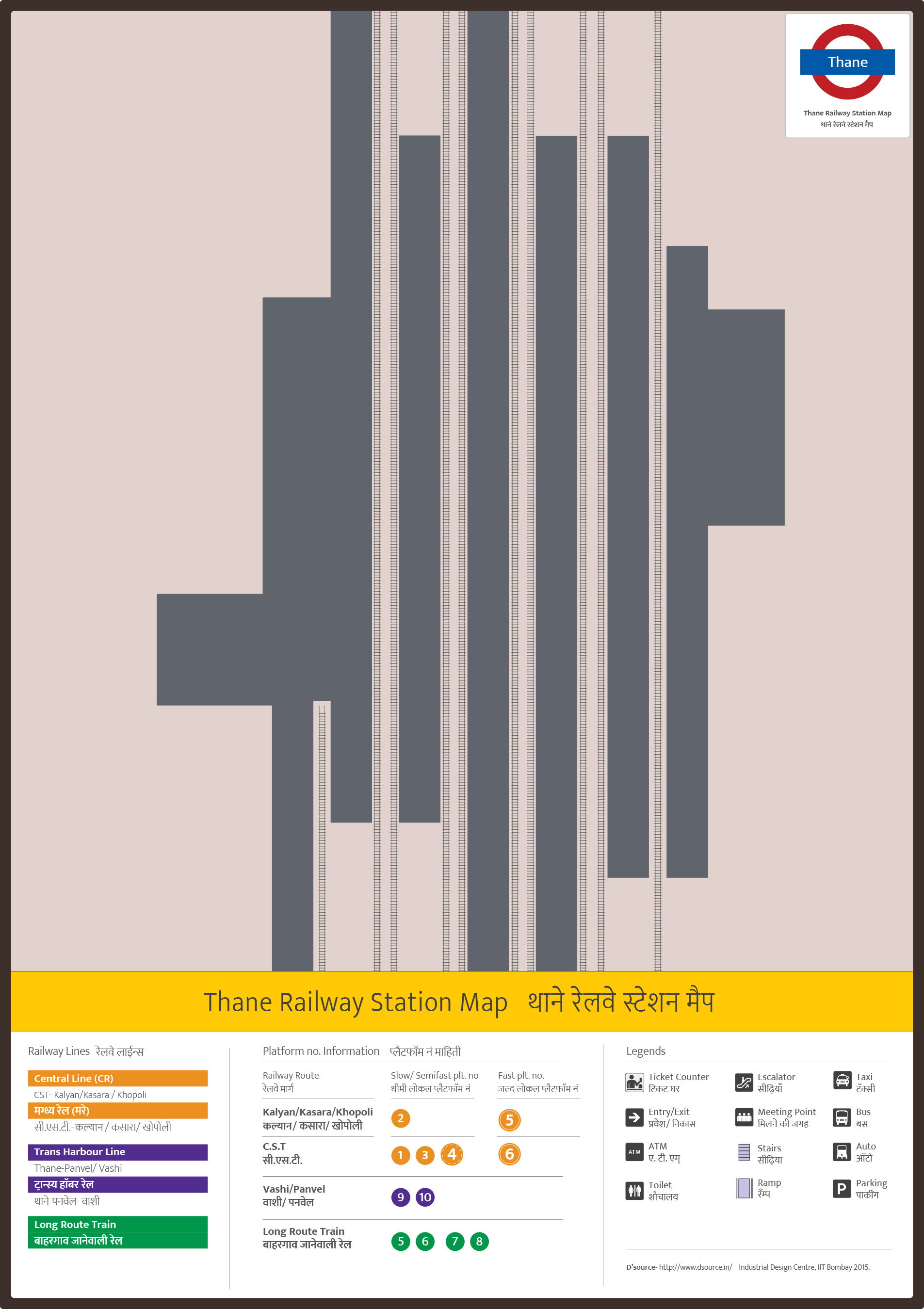
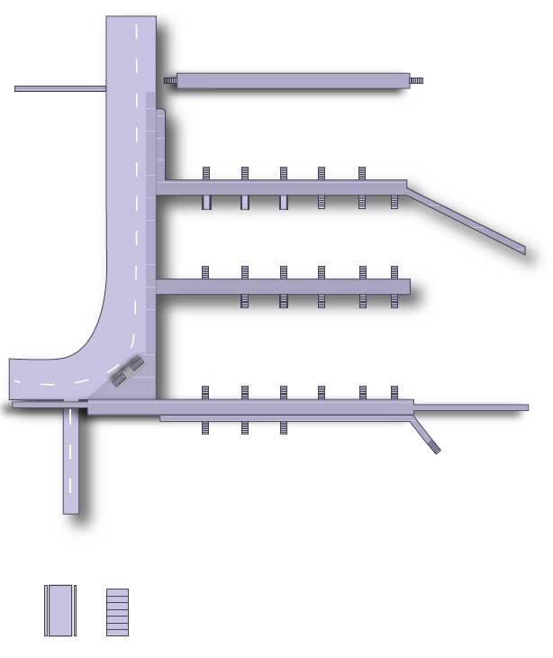
Draw Platform with exact width and height accordingly
Width: 0.5 inches

Add Road
Add Near Main Places
Eg Near Thane Station Lake is Symbolic to represent directions

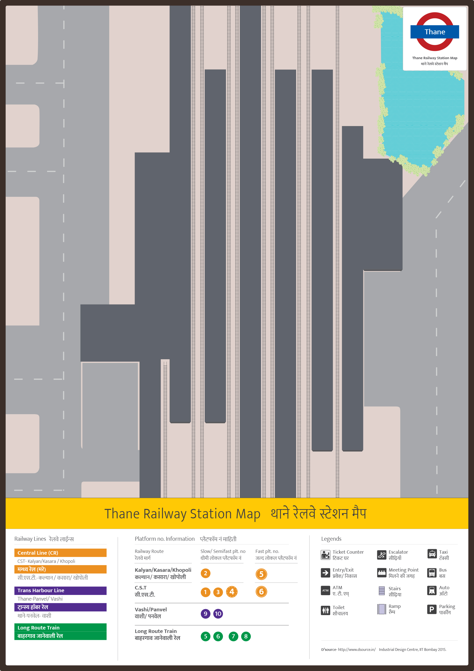
Add Directions
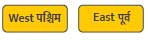
East West with exact template provide
Add direction like towards CST/ Churchgate according to rail line
Add all directions according to template
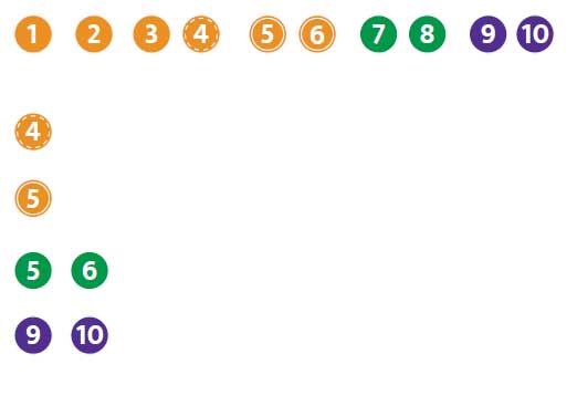
Add Platform Number
According to coulour coding of railway change platform number colour
For more detail use template
Add Flyover Skywalk attached to station footover bridge,
Footover bridge, Ramp, Staircase, lift, Escalator
Use Template for Less confusion
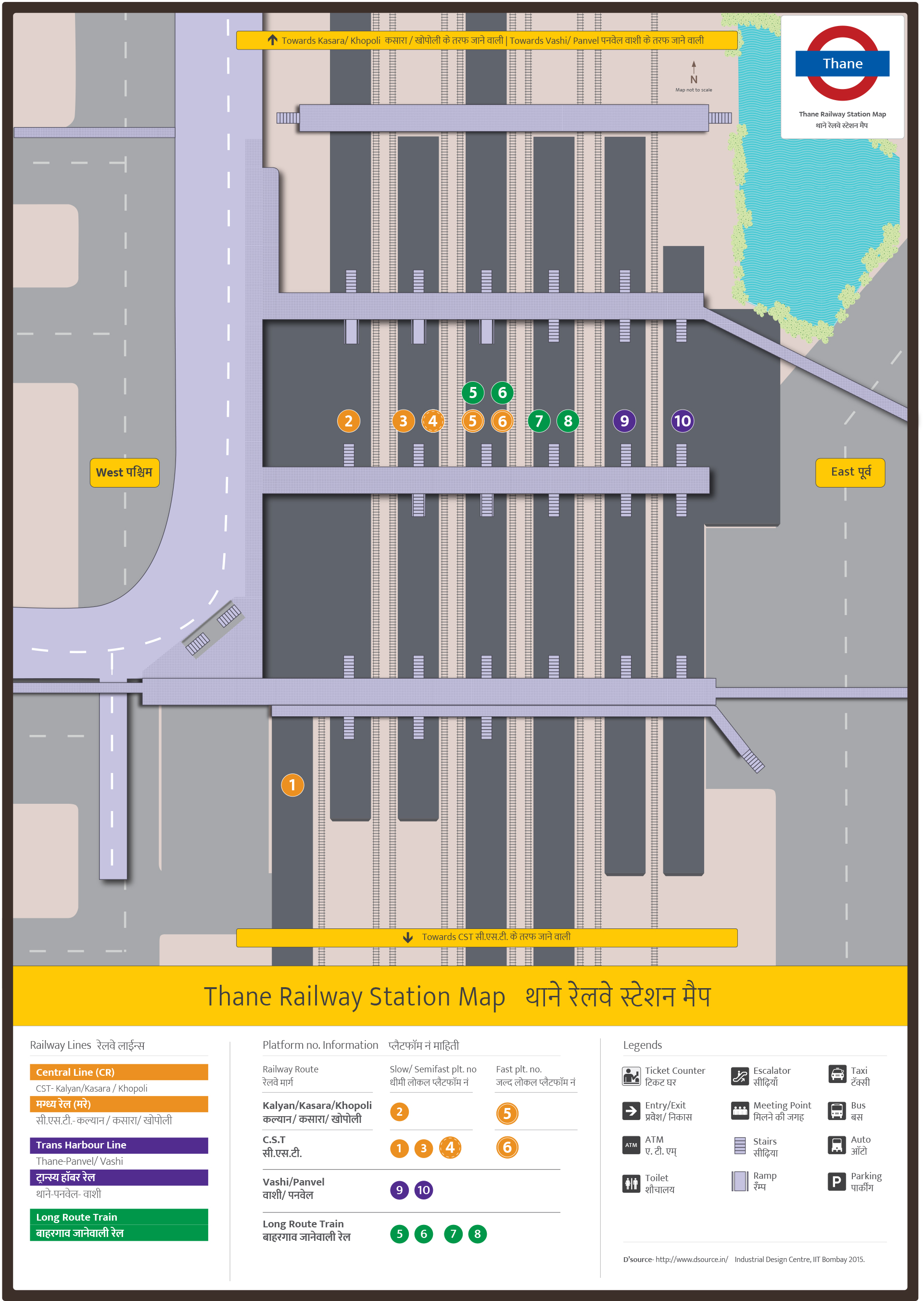
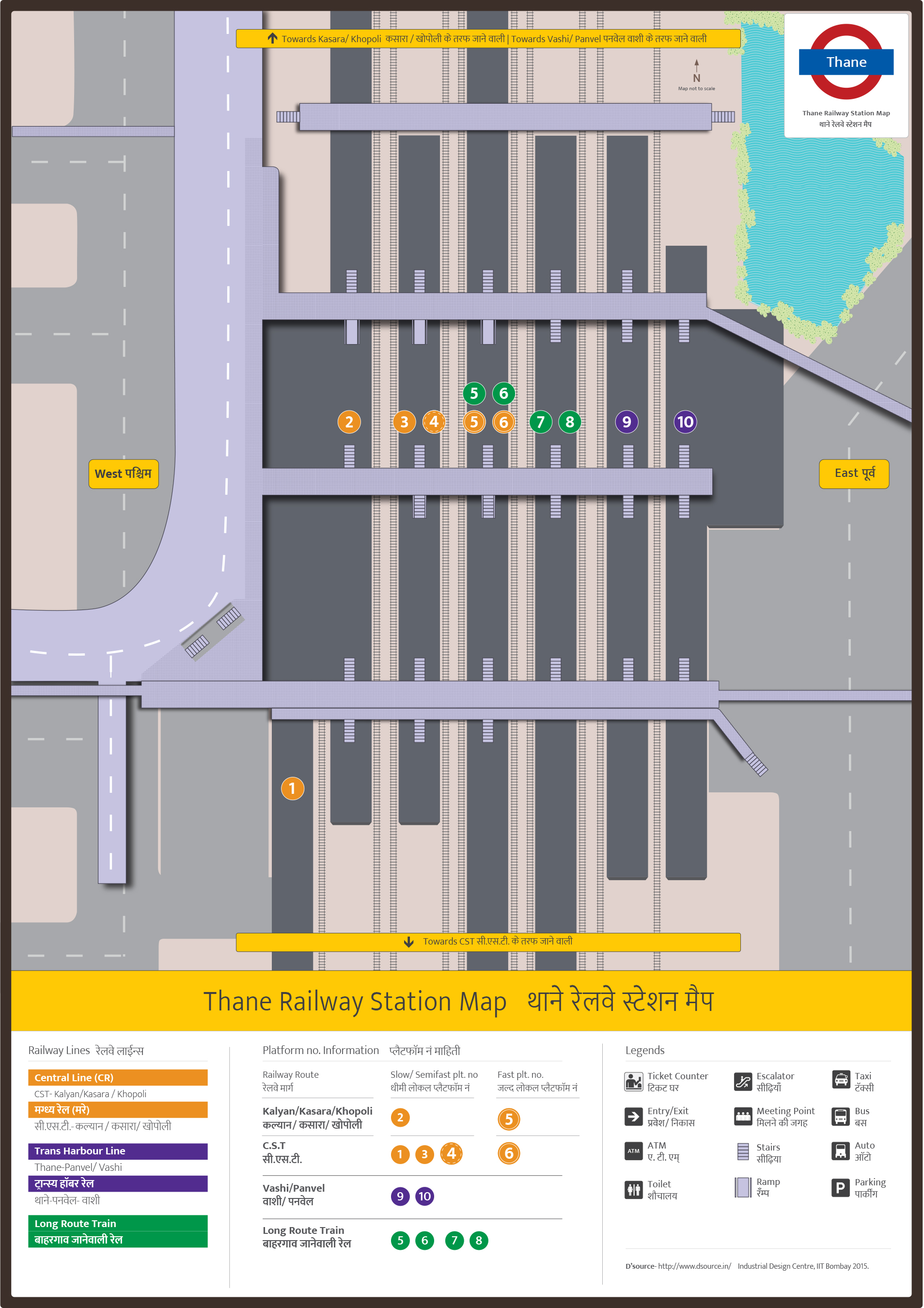
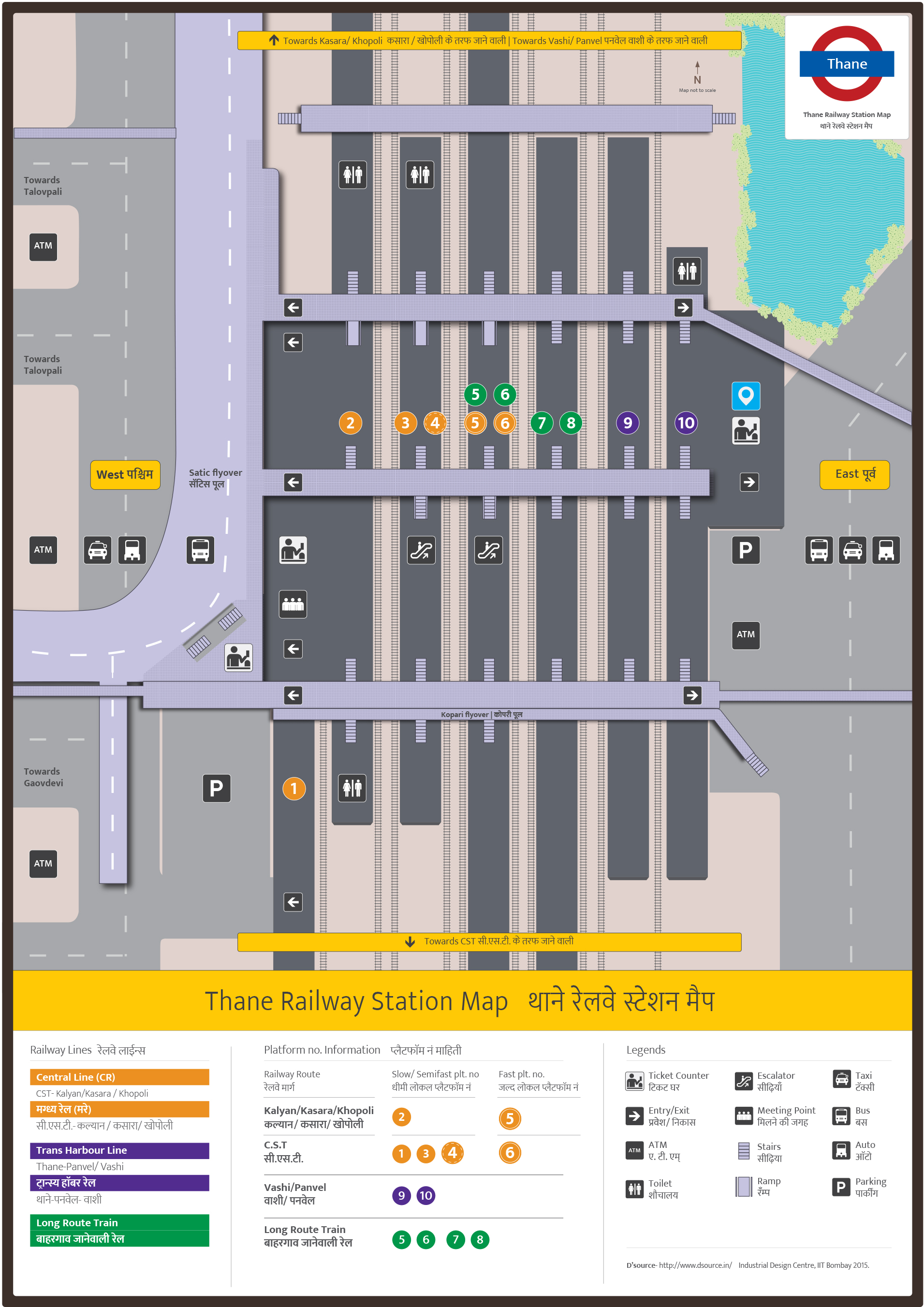
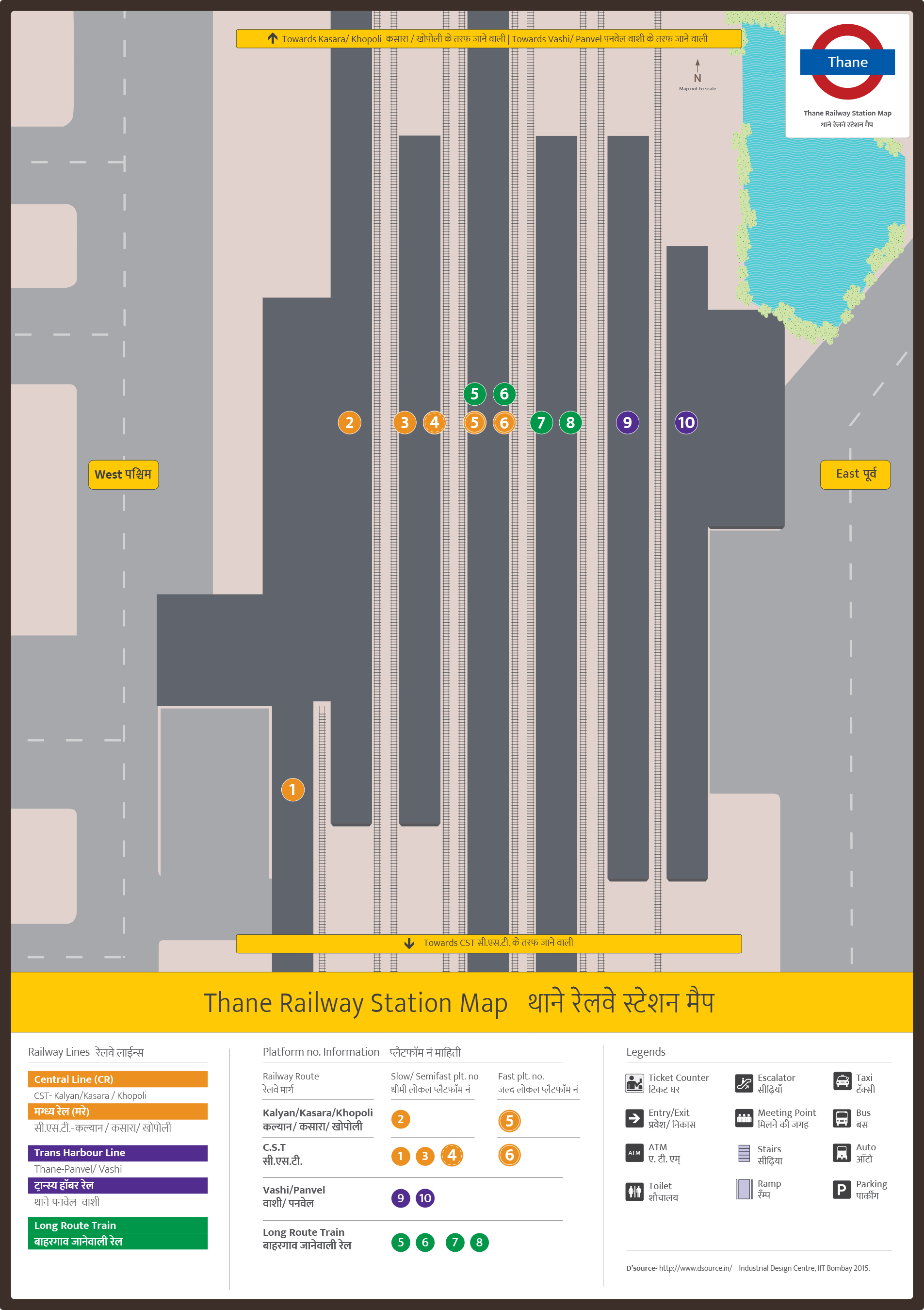
Complete Thane Station Map
Visit the Station again.
And check did you cover all facilities